They’re reaching new heights in Crumlin. No, we’re not talking about the Conor McGregor phenomenon, but rather DroneSpect Ltd.
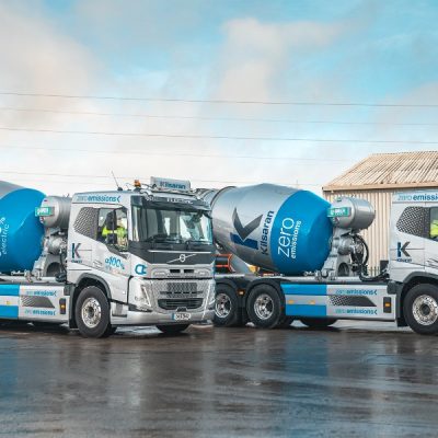
With bases in both Dublin and Tyrone, DroneSpect capture high quality stabilised imagery and video from difficult to reach heights and angles for a range of different uses, employing a strong focus on construction and civil engineering projects.
DroneSpect UAVs are multi-propellor helicopters and they use house state-of-the-art camera technology to capture aerial data.
They look to provide a unique surveying tool while saving the time and money associated with traditional inspection methods through the reduced need for expensive hire equipment, ie the use of cranes and helicopters through cutting insurance costs.
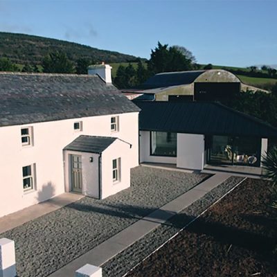
Further image rendering through next-generation app software can create geo-referenced orthmosaics for site surveying and highly accurate topography/volumetrics which can help to make vast savings compare to traditional ground-based surveys.
Furthermore, accurate 3D models of sites can be created for site exploration and impressive marketing material.
For more information visit www.dronespect.ie